
LATEST: Wollumbin (Mount Warning) summit track remains closed until the end of October 2022 due to the impacts of COVID, widespread flooding in the region, and to allow further consultation with the Aboriginal community and other key stakeholders about the future management of the site. (NSW National Parks)
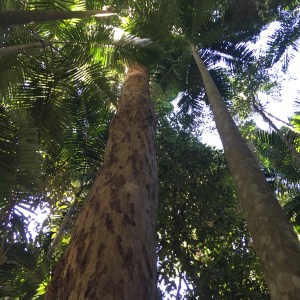
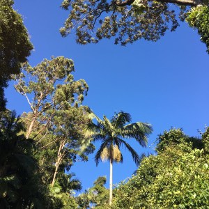
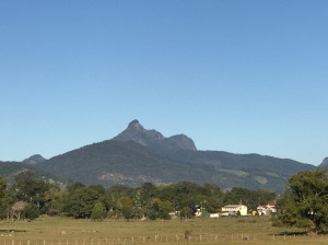
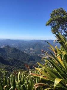
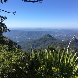
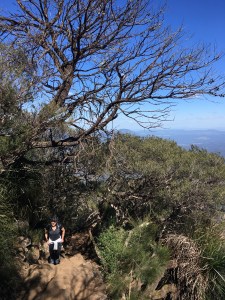
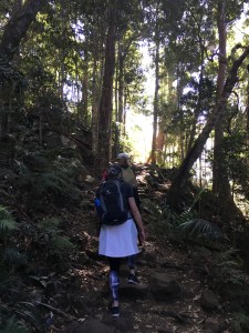
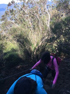
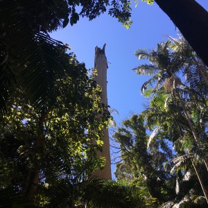
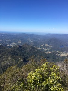
Mt Warning (Wollumbin) in the NSW Tweed Valley, stands at 1157 metres, the plug of a once massive volcano that erupted some 20 million years. The 4.4 km track to the summit is an unrelenting and steep walk that finishes with a 100 metre stretch of bare rock with chains. The path is rough in places with rocks and tree roots, and is not to be underestimated. But the scenery is spectacular – starting with magnificent rainforest and ending with amazing 360 degree views to Cape Byron in the east, the Border Ranges in the west and the Gold Coast high-rise in the north.


Allow at least five hours as the 4.4 km walk down from the summit is almost as tough as the ascent. Take plenty of water and make use of the toilet facilities before you go.
UPDATE: Wollumbin (Mount Warning) summit track is a sacred place to the Bundjalung People, and was declared an Aboriginal Place in 2015. Visitors are asked to respect the wishes of the Bundjalung Elders and avoid climbing this very difficult track.
Discover more from Julie Fison
Subscribe to get the latest posts sent to your email.
